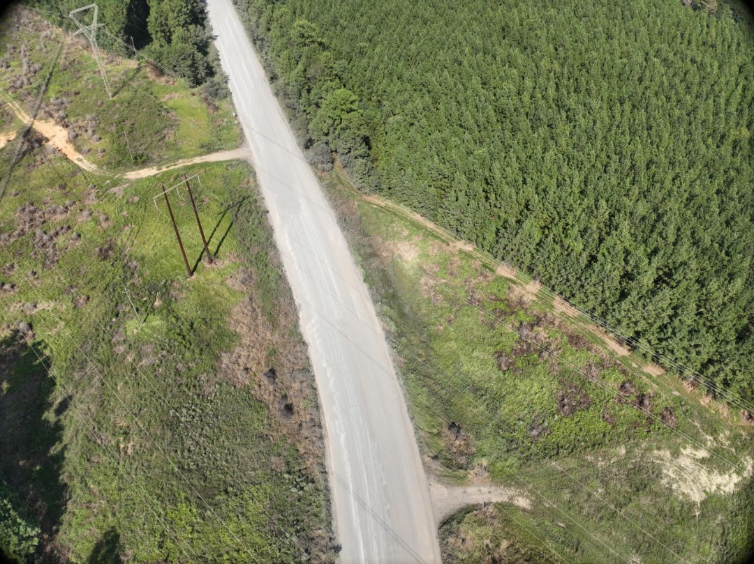
Our team completed an 8,000 L.F. corridor survey for a proposed utility easement?combining conventional field surveying with aerial mapping to capture the existing conditions efficiently. 8,000 feet. One corridor. Solid data from the ground and the air. #LandSurveying #UtilitySurvey #DroneMapping #AlabamaLandSurveyors #ALSi