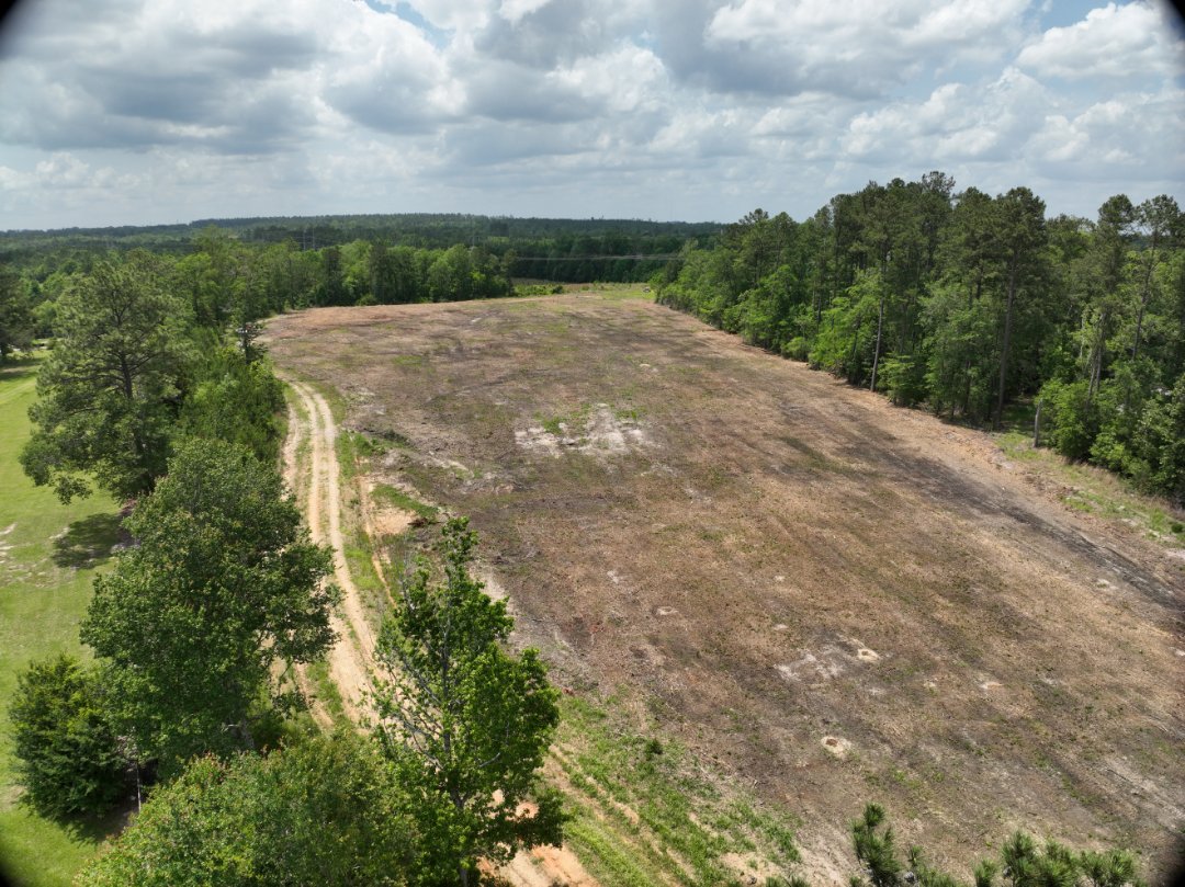
12 Acres Mapped in Mount Vernon, AL Wrapped up a topographic survey today covering 12 acres of mixed terrain. From dense woods to open ground, our team delivered precise elevation data using ground ran cross sections, aerial mapping, and field control. Fast turnaround. High accuracy. #LandSurveying #TopoSurvey #MountVernonAL #DroneMapping #AlabamaLandSurveyors #SurveyLife
