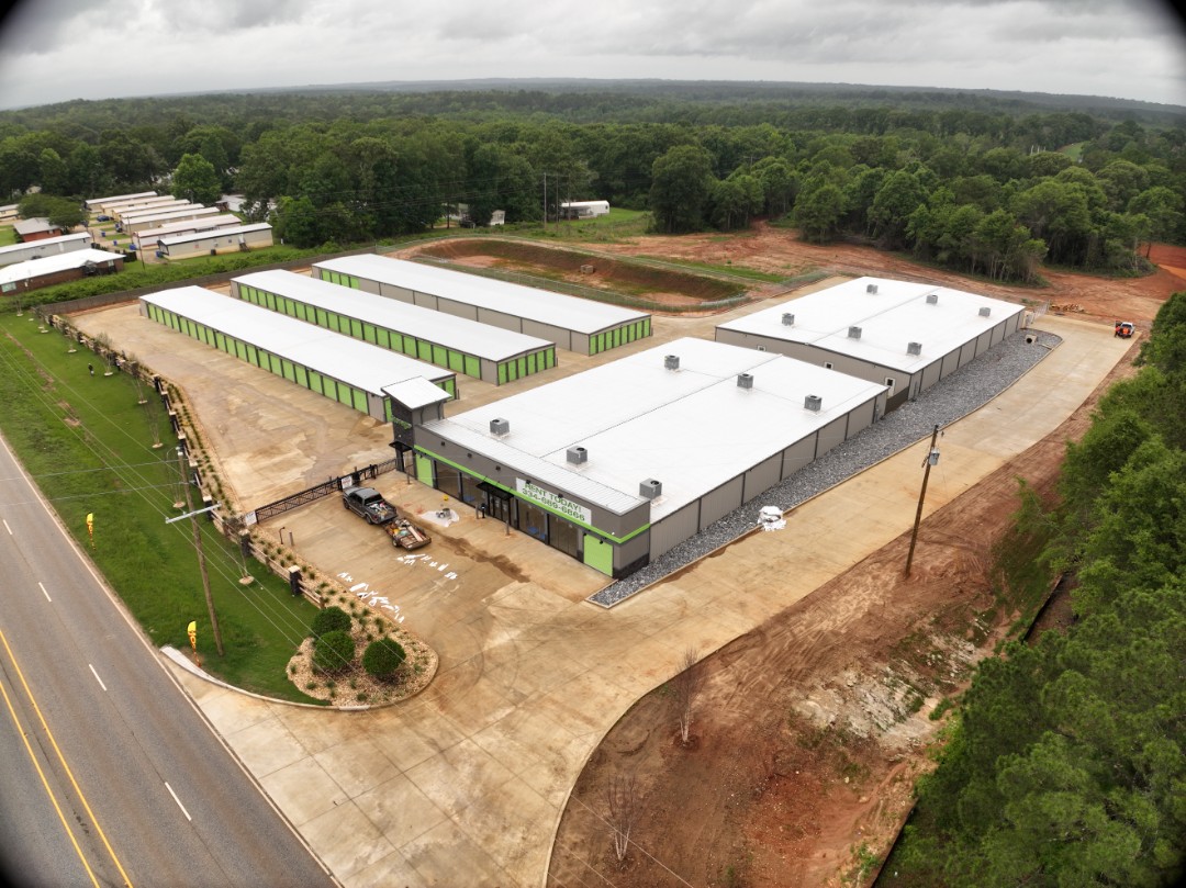
Before/after construction documentation and as-built surveys are becoming an essential tool for owners, engineers, and developers. Alabama Land Surveyors, Inc. recently completed an as-built survey for this newly developed self-storage facility in Troy, Alabama using aerial mapping technology and survey-grade data collection methods. High-resolution aerial imagery and survey data help document site conditions, verify construction progress, support design teams, and create accurate records for future planning and development. Whether your project involves commercial development, construction verification, topographic mapping, or aerial data collection, our team provides accurate information to support decisions in the field and office. #TroyAL #PikeCountyAL #AsBuiltSurvey #CommercialDevelopment #DroneSurvey #TopographicSurvey #LandSurveying #SiteDevelopment #AerialMapping #AlabamaLandSurveyors